
Founded 1854 Unemployment rate 2.4% (Apr 2015) | Area 1,018 km² Population 20,223 (2013) University Dana College | |
 | ||
Website www.co.washington.ne.us Rivers Elkhorn River, Rawhide Creek, Butter Flat Creek | ||
Washington County is a county in the U.S. state of Nebraska. As of the 2010 census, the population was 20,234. Its county seat is Blair.
Contents
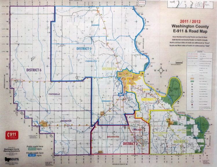
- Map of Washington County NE USA
- History
- Geography
- Adjacent counties
- National protected areas
- Demographics
- Major highways
- Airport
- Cities
- Villages
- Census designated place
- Unincorporated communities
- Townships
- References
Map of Washington County, NE, USA
Washington County is part of the Omaha-Council Bluffs, NE-IA Metropolitan Statistical Area.
In the Nebraska license plate system, Washington County is represented by the prefix 29 (it had the 29th-largest number of vehicles registered in the county when the license plate system was established in 1922).
History
Washington County is in eastern Nebraska on the Missouri River. It was explored as early as 1739 by Pierre Antoine and Paul Mallet, who were on a trapping expedition to Canada. In 1804, Lewis and Clark reported the establishment of the new United States government to a council of Indian chiefs near the present site of Fort Calhoun. As a result of this Council, Fort Atkinson was established in 1819 and served as a key midwestern outpost until its abandonment in 1827.
The first permanent settlement in Washington County was made in 1854. In that same year, the county was organized as one of the eight original counties proclaimed by acting Governor Thomas B. Cuming; it was later reorganized in 1855. The county seat has been in three different towns: Fort Calhoun, DeSoto, and finally at Blair, its present site since 1869.
Geography
According to the U.S. Census Bureau, the county has an area of 393 square miles (1,020 km2), of which 390 square miles (1,000 km2) is land and 3.2 square miles (8.3 km2) (0.8%) is water. It is Nebraska's fifth-smallest county by area.
Adjacent counties
National protected areas
Demographics
As of the census of 2000, there were 18,780 people, 6,940 households, and 5,149 families residing in the county. The population density was 48 people per square mile (19/km²). There were 7,408 housing units at an average density of 19 per square mile (7/km²). The racial makeup of the county was 98.12% White, 0.34% Black or African American, 0.20% Native American, 0.29% Asian, 0.11% Pacific Islander, 0.30% from other races, and 0.63% from two or more races. 1.08% of the population were Hispanic or Latino of any race. 37.1% were of German, 11.9% Danish, 9.0% Irish, 7.8% American and 7.0% English ancestry according to Census 2000.
There were 6,940 households out of which 36.40% had children under the age of 18 living with them, 64.00% were married couples living together, 7.00% had a female householder with no husband present, and 25.80% were non-families. 21.80% of all households were made up of individuals and 10.10% had someone living alone who was 65 years of age or older. The average household size was 2.63 and the average family size was 3.09.
In the county, the population was spread out with 27.10% under the age of 18, 9.30% from 18 to 24, 26.70% from 25 to 44, 24.10% from 45 to 64, and 12.90% who were 65 years of age or older. The median age was 37 years. For every 100 females there were 98.70 males. For every 100 females age 18 and over, there were 96.20 males.
The median income for a household in the county was $48,500, and the median income for a family was $56,429. Males had a median income of $36,901 versus $25,893 for females. The per capita income for the county was $21,055. About 4.10% of families and 6.00% of the population were below the poverty line, including 8.00% of those under age 18 and 7.50% of those age 65 or over.
Major highways
Airport
Washington County is home to the Blair Municipal Airport and several small privately owned grass airstrips, such as the Orum Aerodrome. The Fort Calhoun Nuclear Generating Station, North America's smallest commercial nuclear reactor by rated capacity, is located south of Blair. An associated system of warning sirens are located in the southeastern part of the county for emergency notification in the event of a problem at the station. An Atlas missile launch site (Site B), formerly associated with Offutt Air Force Base and deactivated in the 1960s, is situated to the east of Arlington.