
Elevation 3,246 m Prominence 476 m | First ascent 1844 | |
 | ||
Similar Monte Leone, Bortelhorn, Hübschhorn, Galmihorn, Helsenhorn | ||
Skialp punta di terrarossa wasenhorn
The Wasenhorn (German, Italian: Punta Terrarossa; 3,246 metres (10,650 ft)) is a mountain of the Lepontine Alps, located on the border between Switzerland and Italy. It lies halfway between Brig (Swiss canton of Valais) and Varzo (Italian region of Piedmont), just north of Monte Leone, in the Simplon Pass area. Politically the Wasenhorn is split between the municipalities of Ried-Brig and Varzo.
Contents
- Skialp punta di terrarossa wasenhorn
- Map of Wasenhorn Ried Brig Switzerland
- Wasenhorn cima di terrarossa m 3246 alpi lepontine val divedro
- Access roadEdit
- Climbing RouteEdit
- Other mountains around to climbEdit
- References
Map of Wasenhorn, Ried-Brig, Switzerland
The Simplon Tunnel runs into the massif of the Wasenhorn, below the subsidiary summit named Tunnelspitz (2,903 m (9,524 ft)).
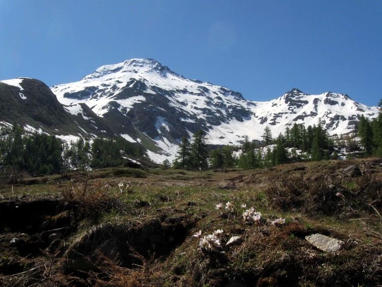
Wasenhorn cima di terrarossa m 3246 alpi lepontine val divedro
Access roadEdit
Just follow to the road towards the Simplon pass, either from Brig on the Swiss side, or from Domodossola on the Italian side.
Climbing RouteEdit
The normal route to the summit of the Wasenhorn starts from the Monte Leone Hut of the Swiss Alpine Club (2,848 m (9,344 ft)), located on the south side of the mountain, above the Chaltwasser Pass, which connects the Simplon Pass with the Alpe Veglia.
To reach the hut from the Swiss side, there is a 2 hours 30 minute walk from the Simplon Hospiz which is at the Simplon pass road. From the hut to the summit takes a further one hour and thirty minutes.
By continuing on towards the Aurona pass the Bivacco Farello is reached - a typical Alpine refuge.
Other mountains around to climbEdit
From the Simplon pass, climbers can reach other nearby mountains: