
Area 11.1 km (4.3 sq mi) Sovereign state United Kingdom Local time Sunday 12:57 AM | OS grid reference TQ657092 Post town HAILSHAM Population 446 (2011) District Wealden | |
 | ||
Weather 8°C, Wind NE at 6 km/h, 90% Humidity | ||
Wartling is a village and civil parish in the Wealden District of East Sussex, England. The village is located between Bexhill and Hailsham, ten miles (16 km) west of the latter, and at the northern edge of the Pevensey Levels. The parish includes the two settlements of Wartling itself and Boreham Street, two miles (3 km) to the north-east on the A271 road to the north. There are seven members on the Wartling Parish Council.
Contents
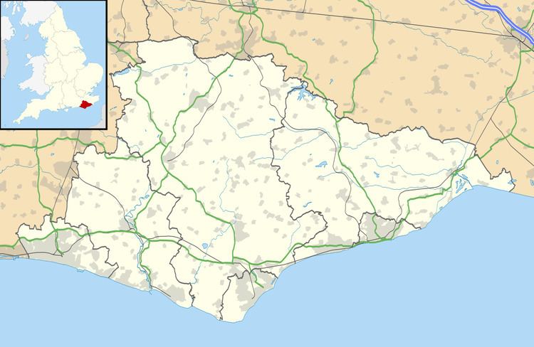
Map of Wartling, UK
Wartling is mentioned in the Domesday Book, when there was a chapel there. The current church, dedicated to St Mary Magdalene and linked with that at Herstmonceux, was built in the 13th century, probably on the same site as the chapel had been. As with many villages on the Weald the iron industry flourished here in the 17th and 18th centuries.