Grid reference OSGRIDREF Notification 1977 | Interest Biological Designated as world heritage site 2 February 1999 | |
 | ||
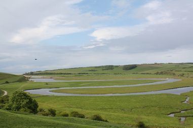
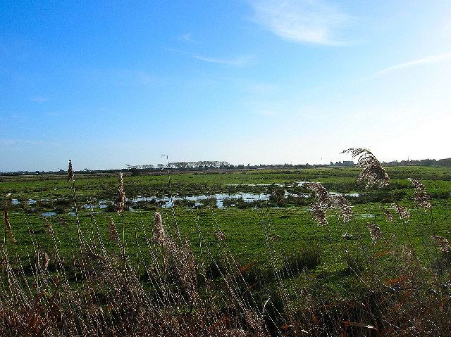
Pevensey levels sussex from the sky 24 4 2013
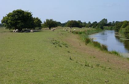
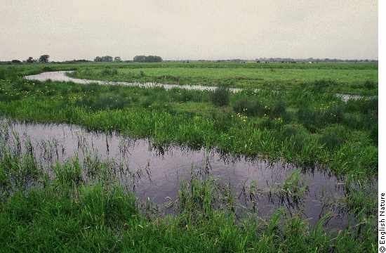
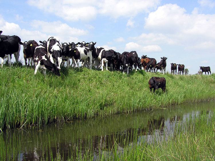
The area known as the Pevensey Levels is a Site of Special Scientific Interest (SSSI) notified under Section 28 of the Wildlife and Countryside Act 1981. It is an area of English marshland situated in East Sussex between Bexhill in the east, Pevensey in the west and Hailsham in the north. The site covers an area of 8,650.9 acres (3,500.9 ha).
Contents
- Pevensey levels sussex from the sky 24 4 2013
- Hailsham overlooking pevensey levels 2012
- Nature reserve
- Physical influences
- References
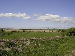
Hailsham overlooking pevensey levels 2012
Nature reserve
The area is a conservation area owned jointly by Natural England and the Sussex Wildlife Trust. There are many nationally rare plants and invertebrates, including the fen raft spider. The site is very fragile and general access is not permitted
Physical influences
At the end of the last glaciation, about 10,000 years ago, rising sea-levels flooded the lower reaches of the numerous coastal river valleys in the Pevensey area. This resulted in the creation of a tidal estuary with a wide bay. The present Levels were under water.
Over hundreds of years, the Levels gradually changed from saltmarsh to reedy meadows although much of the area was still under water as recently as 700 to 800 years ago.