
Time zone CST (UTC-6) Elevation 191 m Local time Saturday 6:23 PM | Established November 6, 1849 ZIP codes 62330, 62354, 62358 Area 19.35 km² Population 1,607 (2010) | |
 | ||
Weather 24°C, Wind S at 18 km/h, 37% Humidity | ||
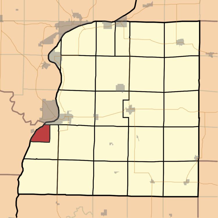
Warsaw Township is one of twenty-five townships in Hancock County, Illinois, USA. As of the 2010 census, its population was 1,607 and it contained 790 housing units. Since November 15, 1855, the township has been co-extensive with the city of Warsaw.
Contents
- Map of Warsaw Township IL 62379 USA
- Geography
- Cemeteries
- Major highways
- School districts
- Political districts
- References
Map of Warsaw Township, IL 62379, USA
Geography
According to the 2010 census, the township has a total area of 7.47 square miles (19.3 km2), of which 6.52 square miles (16.9 km2) (or 87.28%) is land and 0.95 square miles (2.5 km2) (or 12.72%) is water.
Cemeteries
The township contains these three cemeteries: Catholic, Lutheran and Oakland.
Major highways
School districts
Political districts
References
Warsaw Township, Hancock County, Illinois Wikipedia(Text) CC BY-SA