OS grid reference TQ986329 Sovereign state United Kingdom Local time Monday 3:08 AM | Civil parish Warehorne Area 10.66 km² | |
 | ||
Population 370 (2011)(Civil Parish) Weather 10°C, Wind NW at 13 km/h, 80% Humidity | ||
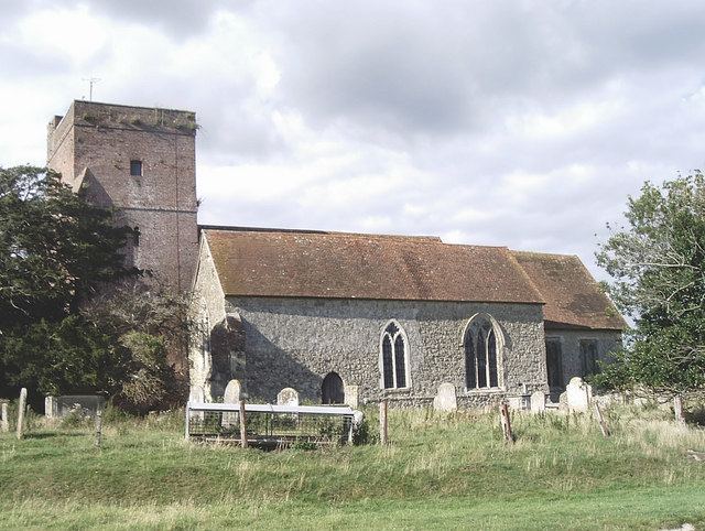
Warehorne is a village and civil parish in the south of the Ashford Borough of Kent, England. It is a scattered community centred on the Hamstreet to Tenterden road (B2067) around seven miles SSW of Ashford. The Royal Military Canal passes through the south of the civil parish.
Contents
Map of Warehorne, UK
The first mention of Warehorne is in a charter of the Saxon King Egbert, A.D. 820, where it is called "Werehornas".
Geography
The settlement is in four main parts:
References
Warehorne Wikipedia(Text) CC BY-SA
