Sovereign state United Kingdom Postcode district ME12 Local time Monday 2:40 AM District Swale | Population 1,763 (2011 Census) | |
 | ||
Weather 11°C, Wind NW at 14 km/h, 75% Humidity | ||
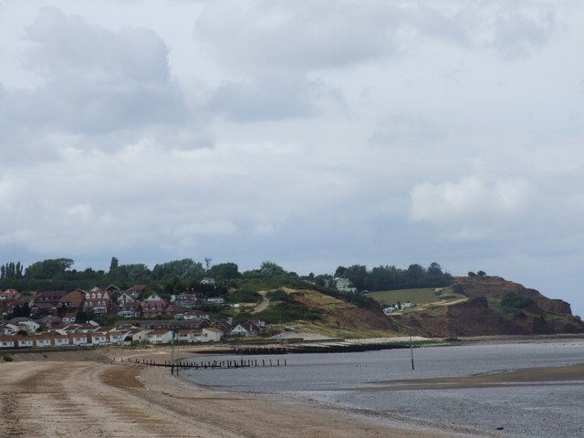
Warden is a small holiday village located on the northeast coast of the Isle of Sheppey, Kent, United Kingdom. The largest residential part of Warden is generally called Warden Bay. Where the beach becomes inaccessible and the cliffs become prominent, the area is generally referred to as Warden Point.
Contents
Map of Warden, UK
History
It was once called Warne. At the time of the Domesday Survey, the parish and manor of Warden, was controlled by the Manor of Milton. In King Edward I of England's reign (1272 to 1307), it was owned by the family of Savage. In 1295, John le Savage obtained a charter of free-warren for his lands in the manor. In 1376, Sir Richard at Leese (MP), became owner of the manor, he was Sheriff of Kent in 1367. When he died in 1394, it passed to his widow, 'Dionisia'. In 1727, it was sold to Sir Thomas Stevens, (who was a High Sheriff of Surrey in 1726). After he died it passed to Thomas West (Sir Thomas's son). Then to James West (husband of Thomas West's sister Sarah). James was the son of Thomas West.
He was recorder of St. Alban's, secretary to the treasury, and fellow of the royal and antiquarian societies
