
Topo map USGS Ward Mountain Elevation 3,335 m Mountain range Egan Range | Easiest route Jeep trail Prominence 1,114 m Parent range Egan Range | |
 | ||
Location White Pine County, Nevada, U.S. Similar Currant Mountain, Troy Peak, North Schell Peak, Matterhorn, Hole in the Mountain Peak | ||
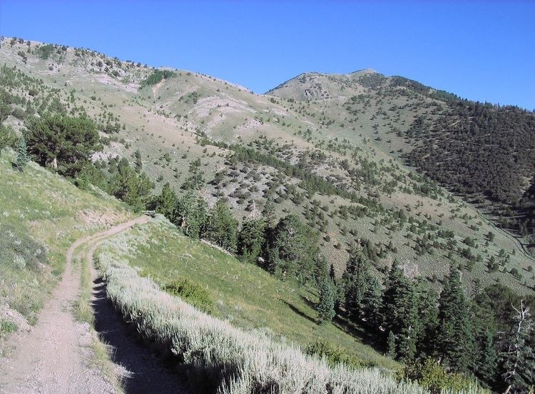
Ward Mountain is the high point of the Egan Range in south-central White Pine County of eastern Nevada. It ranks thirty-fourth among the most topographically prominent peaks in the state. The summit, part of a three mile long crest, is located just 10 miles (16 km) south of the city of Ely. The Ward Charcoal Ovens State Historic Park is located on the mountain's eastern flank.
Map of Ward Mountain, Nevada, USA
References
Ward Mountain (Nevada) Wikipedia(Text) CC BY-SA