
Type Highway Route number(s) B380 | Length 35 km | |
 | ||
Major settlements Wandin North, Woori Yallock, Launching Place, Yarra Junction, Wesburn, Millgrove | ||
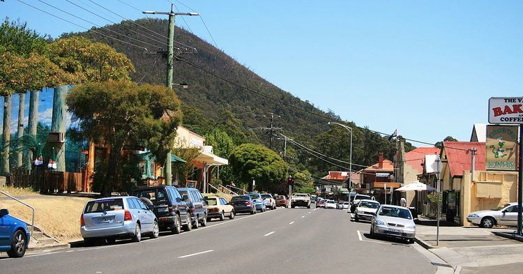
The Warburton Highway is a 35 kilometre west-east semi-rural highway starting on the eastern fringes of Melbourne, Victoria (Australia) at the Maroondah Highway just after Lilydale, connecting Melbourne to the Yarra Valley wine region and its towns, as well as Melbourne's closest mountain peak to receive regular snowfall, Mount Donna Buang. The entire road falls within the Shire of Yarra Ranges local government area and is wholly managed by VicRoads. It is a single carriageway for its entire length, being completely sealed since 1941, with one lane in each direction and occasional overtaking lanes being provided. Speed limits range from 50–60 km/h through townships and 70–80 km/h elsewhere, with the exception of a 90 km/h zone between Seville and Woori Yallock. Because of the lack of the standard 100 km/h rural speed limit and high traffic volumes, Victoria Police maintain a high level of patrol and vigilance.
Contents
Map of Warburton Hwy, Victoria, Australia
The highway continues east of Warburton as Woods Point Road (C511)
With the introduction of traffic lights in Seville, as well as the reduction of speed limits and addition of a greater number of speed zones, the Warburton Highway is becoming over congested during peak times. Evidence of this can be seen during any weekday afternoon. Outbound traffic approaching a pedestrian crossing in Seville often queues up to 1.1 km.
Motor vehicle accidents are predominant in and around the Alsopps Road intersection in Launching Place due to fuel residue from a nearby petrol station. As many as 7 incidents in the last 6 months have had locals approaching their local MP to voice their concern.
Major intersections and towns
The entire highway is in the Shire of Yarra Ranges local government area.