
Population 1,178 (2011 census) Elevation 257 m (843 ft) Postal code 3799 | Postcode(s) 3799 LGA(s) Shire of Yarra Ranges Local time Monday 4:08 PM | |
 | ||
Weather 13°C, Wind SW at 18 km/h, 69% Humidity | ||
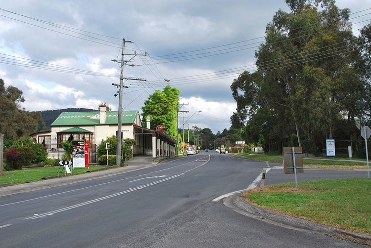
Wesburn is a town in Victoria, Australia, 62 km east from Melbourne's central business district. Its local government area is the Shire of Yarra Ranges. At the 2011 census, Wesburn had a population of 1,178. Predominantly rural in nature, the township has a narrow ribbon of residential dwellings along and branching off the Warburton Highway.
Map of Wesburn VIC 3799, Australia
The name Wesburn is derived from its original name of West Warburton. Warburton West Post Office opened on 7 February 1893, was renamed Wesburn in 1925 and closed in 1993. Wesburn was also served by a railway station on the former Warburton railway line until closure in 1965. Today the former railway line has been transformed into a walking and cycling path called the Warburton Trail.
Wesburn Primary School opened in 1904 after relocation of the building from Millgrove. The school has a current enrolment of around 100 and is a participant in the Stephanie Alexander Kitchen Garden program.
The Wesburn Recreation Reserve hosts junior football and netball teams. The township is also serviced by a pub and a number of small shops. Public transport is provided by bus route from Warburton to Chirnside Park.