
Topo map NTS 082N08 Elevation 2,778 m | First ascent 1901 | |
 | ||
Similar Mount Burgess, Mount Field, Mount Stephen, Mount Bosworth, The President | ||
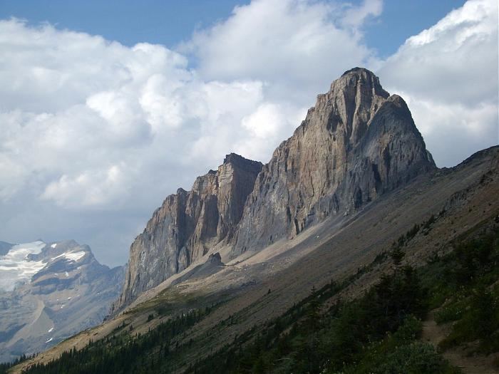
Wapta Mountain is a mountain located in the Canadian Rocky Mountains between Emerald Lake and Yoho Valley in Yoho National Park, British Columbia, Canada. It stands just north of the ridge containing the Burgess Shale fossil beds. Along with The Vice President and Mount Burgess, Wapta Mountain forms the backdrop to Emerald Lake, and marks the southern end of the President Range.
Map of Wapta Mountain, Columbia-Shuswap A, BC, Canada
In 1901, James Outram, J. H. Scattergood, and their guide C. Bohren, became the first people to ascend Wapta Mountain. Wapta Mountain overlooks Takakkaw Falls (1,247 feet), the second tallest waterfall in western Canada. The word "Wapta" means "running water" in Cree.
References
Wapta Mountain Wikipedia(Text) CC BY-SA