
Ward 9 Time zone EST (UTC-5) Postal Code FSA P0M | Annexed 2001 Local time Sunday 5:46 PM Area code 705 | |
 | ||
Weather 14°C, Wind S at 21 km/h, 47% Humidity | ||
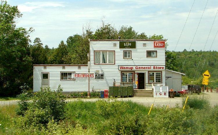
Wanup is a community in the Ontario city of Greater Sudbury. Formerly an unincorporated community in the geographic township of Dill, Wanup was annexed into Greater Sudbury on January 1, 2001 when that city was created by amalgamating the former Regional Municipality of Sudbury.
Contents
Map of Wanup, ON, Canada
The community is located along Highway 537, near the interchange with Highway 69. The smaller neighbourhood of St. Cloud, which is treated as part of Wanup for postal delivery and telephone exchange purposes, is located a few kilometres north of Wanup in the former geographic township of Cleland.
History
Settlement of Wanup dates back to the early 1900s, when large numbers of Finns arrived in Canada. Leaving their homeland to escape the political instability of the time and the spectre of war with Russia many Finns chose this area to resume their primarily agricultural lifestyles. This area was popular among the Finns due to the geographical similarities with many parts of Finland. Another important factor was the abundance of available work from the construction of the CN and CP rail lines which pass through the area. Wanup has acted as base for many generations of Finnish Canadians and still retains a high number of Finnish families.
On June 2, 2013, a rail bridge crossing the Wanapitei River at Wanup collapsed, causing a train derailment.