
Total islands 1 Highest elevation 119 m (390 ft) Elevation 119 m | Major islands Wanim Highest point Mount Wanim Area 166 ha Adjacent body of water Solomon Sea | |
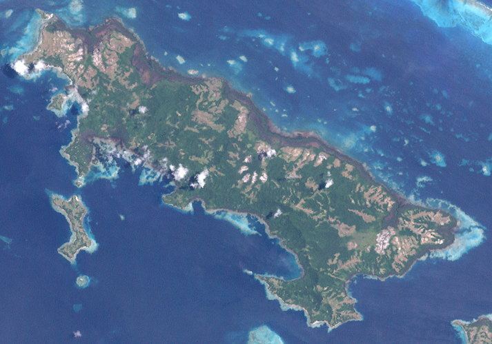 | ||
Wanim Island is an island in the Louisiade Archipelago in Milne Bay Province, Papua New Guinea.
Contents
Map of Wanim Island, Papua New Guinea
Geography
The island has an area of 3.56 km2, it is part of the Pana Tinani Group. The island is hilly, rising to 119 m at Mt. Wanim. The island is 0.9 km south of Pana Tinani, and separated from it with the Bulami Channel.
History
The island was discovered in the late 18th century.
Population
At the census of population in 2014, the island had 600 inhabitants, spread across 3 small villages. The main town is Bunbun, located on the northwest point.
References
Wanim Island Wikipedia(Text) CC BY-SA