Local time Monday 2:04 AM | Time zone IST (UTC+5:30) Elevation 1,823 m | |
 | ||
Weather 5°C, Wind NE at 6 km/h, 52% Humidity | ||
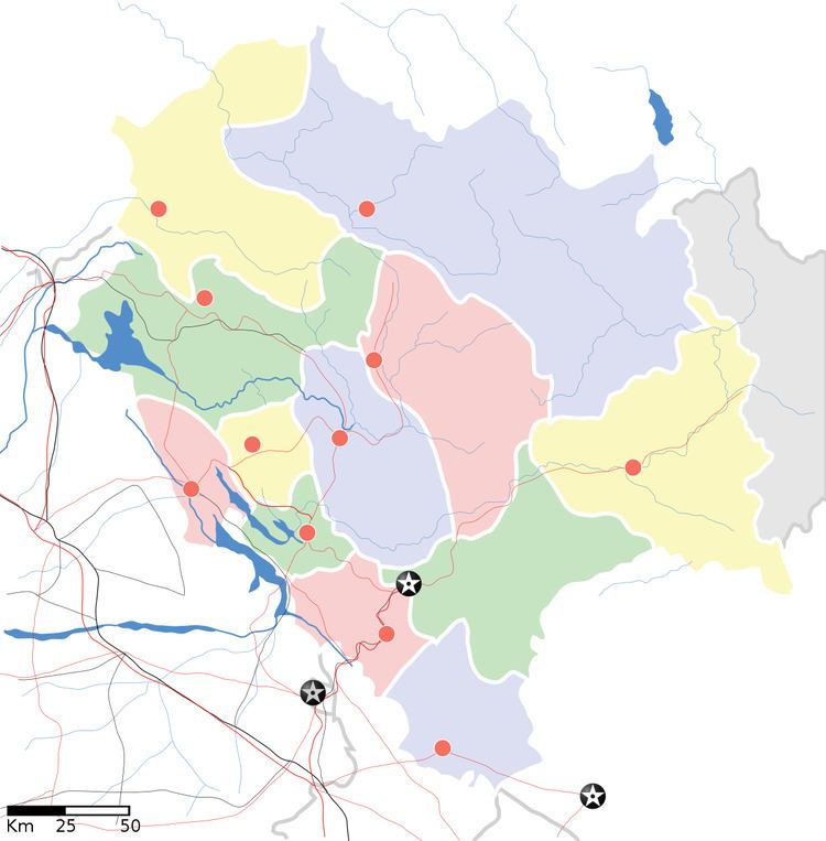
Wangtu is a place situated in Kinnaur, Himachal Pradesh, India, its geographical coordinates are 31° 33' 0" North, 78° 1' 0" East and its original name (with diacritics) is Wangtu. The nearest airport is in Shimla, which is approximately 200 km from Wangtu. It is very close to the Indo-China border, and located on the Old Hindustan-Tibet Road. Wangtu was affected by the 1975 Kinnaur earthquake.
Map of Wangtu, Himachal Pradesh 172104
References
Wangtu Wikipedia(Text) CC BY-SA
