
Lok Sabha constituency Mandi | Time zone IST (UTC+5:30) Local time Sunday 7:04 AM | |
 | ||
Weather 6°C, Wind NE at 5 km/h, 48% Humidity | ||
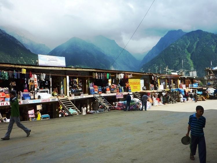
Reckong Peo, is also spelled Rekong Peo and simply known as Peo by the local inhabitants, is headquarters of Kinnaur district, one of the twelve administrative districts of the Indian state of Himachal Pradesh.
Map of Reckong Peo, Himachal Pradesh 172107
At a height of 2,290 metres (7,513 ft), Reckong Peo is 260 kilometres (162 miles) from Shimla and seven kilometres (4⅓ miles) from Powari. Earlier Kalpa was the headquarters later changed to Reckong Peo, named after group of people who used to own this place in ancient times.
References
Reckong Peo Wikipedia(Text) CC BY-SA