
Country India Vehicle registration MN Elevation 766 m Population 8,055 (2011) | Time zone IST (UTC+5:30) Website manipur.gov.in Area 4 km² Local time Monday 1:57 AM | |
 | ||
Weather 20°C, Wind NW at 3 km/h, 93% Humidity | ||
Wangjing is a town and a municipal council in Thoubal district in the Indian state of Manipur. It is about 6 km from district headquarters and an agricultural town in Thoubal district in the Indian state of Manipur. It is bordered by Heirok village in the east, Tentha village in the south-west, and on the other side by agricultural land. Wangjing River, a rivulet flowing down from the eastern hills, runs through the middle of the town, serving as a natural spring. It is connected to other parts of the state by the Imphal-Moreh national highway. It is the junction between Heirok and Tentha village.
Contents
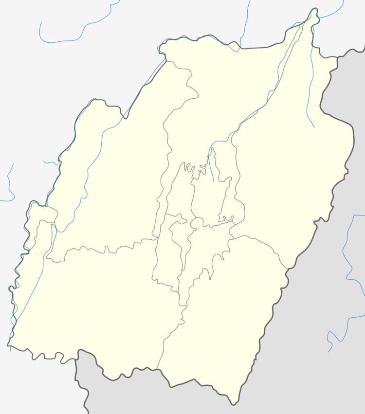
Map of Wangjing, Manipur 795148
Geography
Wangjing is located at 24.6°N 94.03°E / 24.6; 94.03. It has an average elevation of 766 metres (2513 feet).
Demographics
As of 2011 India census, Wangjing had a population of 8,055. Males constitute 49% of the population and females 51%. Wangjing has an average literacy rate of 62%, higher than the national average of 59.5%: male literacy is 73%, and female literacy is 52%. In Wangjing, 15% of the population is under 6 years of age.
Economy
The economy of Wangjing depends on agriculture. Rice and cabbage are important products. Business is widely practiced in the bazar area, and it is a secondary source of income generation.
Politics
The town is located in two assembly constituencies, Wangjing Tentha assembly constituency and part of Khangabok assembly constituency. Wangjing Tentha assembly constituency is part of Outer Manipur (Lok Sabha constituency).
Education
Wangjing hodamba LP school wangjing.* wangjing awang leikai LP school. Wangjing tekcham leikai lp school.