PIN 795148 Population 6,704 (2001) | Time zone IST (UTC+5:30) Telephone code 03848 Area code 03848 | |
 | ||
Neighborhoods Tentha Makha Leikai, Tentha Khunou | ||
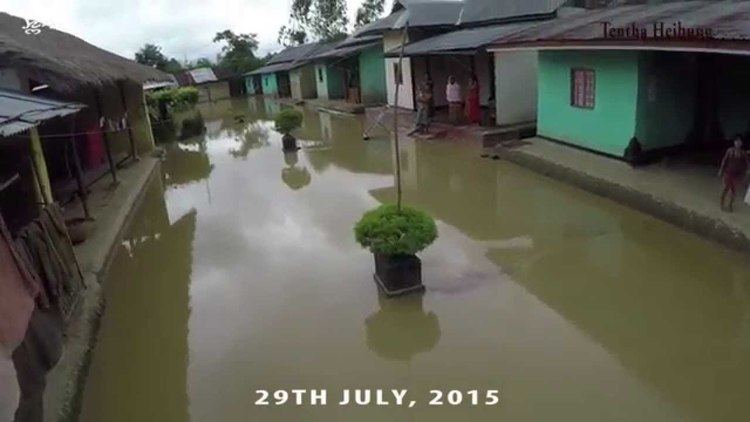
Tentha is a village in Thoubal District in Manipur, India.
Contents
- Map of Tentha Manipur
- About Tentha
- Geography
- Demographics
- Localities in Tentha
- Economy
- Connectivity
- Politics
- References
Map of Tentha, Manipur
About Tentha
It is one of the large village in Thobal district. It is surrounded by Wabgai south-west, north by Ikop lake and East by Wangjing and north-east by khangabok.
Geography
Tentha is located at .
Demographics
As of 2001 India census, Tentha had a population of 6704. Males and females population are 3340 and 3364 respectively.
Localities in Tentha
Name of localities(Leikai) in Tentha are:-
Economy
Majority of the peoples in this village are practice agriculture. Tentha is famous for the production of fish in Thoubal district.
Connectivity
There are 3 important inter-village roads which is connected Tentha with other part of the district they are
Politics
Wangjing Tentha assembly constituency (Assembly Constituency No. 34) is part of Outer Manipur (Lok Sabha constituency).
