
Established 1995 Time zone ACST (UTC+9:30) Founded 1995 | Postcode(s) 5523 Postal code 5523 | |
 | ||
Population 189 (shared with other localities within the 'State Suburb of Wandearah East' ) (2011 census) Location 179 km (111 mi) north-west of Adelaide city centre22 km (14 mi) south of Port Pirie | ||
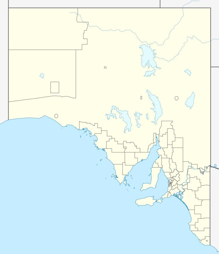
Wandearah West is a locality in the Australian state of South Australia located on the east coast of Spencer Gulf about 179 kilometres (111 mi) north-west of the Adelaide city centre and about 22 kilometres (14 mi) south of Port Pirie.
Map of Wandearah West SA 5523, Australia
Its boundaries were created in June 1995 for the “long established name.” The name was derived from the cadastral unit in which the locality is located - the Hundred of Wandearah.
As of 2015, land within the locality was zoned for agriculture while a strip of land along its coastline was zoned for conservation.
Wandearah West is located within the federal division of Grey, the state electoral district of Frome and the local government area of the Port Pirie Regional Council.
References
Wandearah West, South Australia Wikipedia(Text) CC BY-SA