
- left Mkata Length 490 km Basin area 43,946 km² Mouth elevation 0 | Basin area 43,946 km² Discharge 60.6 m³/s Country Tanzania Bridges Wami Bridge | |
 | ||
- right Lukigura; Mjonga; Chogoati - location at Saadani in the Indian Ocean, Tanzania - average 60.6 m/s (2,140 cu ft/s) | ||
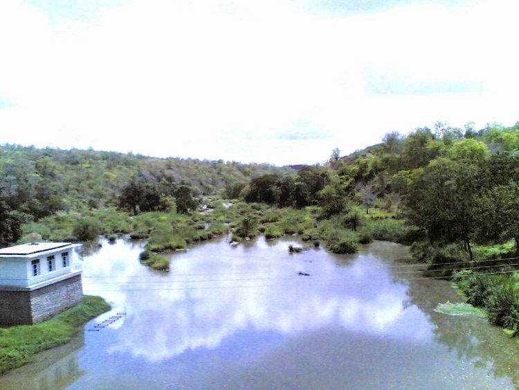
Hippos and crocodiles in wami river in saadani national park
The Wami River lies entirely within Tanzania in the Pwani Region and Morogoro Region in eastern Tanzania. Its source is specified in the Kaguru Mountains and it flows East entering the Indian Ocean west of Zanzibar. But its catchment area extends from the Kinyasangwe River to far beyond Dodoma to the southern edge of the Maasai Steppe and is denoted with 43,946 km². Only after leaving the Mkata River basin on the northern edge of the Mikumi National Park is its name Wami. Due to deforestation and climatic changes in the region the runoff decrease. Wami river is the southern border of Saadani National Park, the only coastal National Park in Tanzania.
Contents
- Hippos and crocodiles in wami river in saadani national park
- Map of Wami River Tanzania
- Arc hotel morogoro with safaris to mikumi selous and wami river
- HydrometryEdit
- References
Map of Wami River, Tanzania
The average monthly flow of the river Wami hydrological station of Mandera (in m³ / s )< br /> (Calculated using the data for a period of 30 years, 1954–84)
Arc hotel morogoro with safaris to mikumi selous and wami river
HydrometryEdit
The river flow observed over 30 years (1954–84) in Mandera a town about 50 km above the mouth. The at Mandera observed average annual flow during this period was 60.6 m³ / s fed by an area of about 82% of the total catchment area of the River.
The average monthly flow of the river Wami hydrological station of Mandera (in m³ / s )< br /> (Calculated using the data for a period of 30 years, 1954–84)