
- land 36.75 sq mi (95 km) - summer (DST) CDT (UTC-5) | - water 0.02 sq mi (0 km) Local time Saturday 7:29 AM | |
 | ||
Weather 7°C, Wind SE at 14 km/h, 65% Humidity | ||
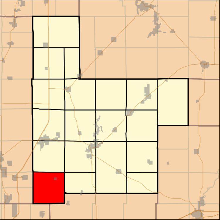
Walshville Township (T7N R5W) is located in Montgomery County, Illinois, United States. As of the 2010 census, its population was 347 and it contained 162 housing units.
Contents
Map of Walshville Township, IL, USA
Geography
According to the 2010 census, the township has a total area of 36.78 square miles (95.3 km2), of which 36.75 square miles (95.2 km2) (or 99.92%) is land and 0.02 square miles (0.052 km2) (or 0.05%) is water.
Walshville Twp:
Adjacent townships
References
Walshville Township, Montgomery County, Illinois Wikipedia(Text) CC BY-SA