
- summer (DST) CDT (UTC-5) | Local time Sunday 11:49 PM | |
 | ||
Weather 11°C, Wind S at 27 km/h, 76% Humidity Area 95.52 km² (94.77 km² Land / 75 ha Water) | ||
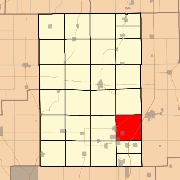
Cahokia Township (T8N R6W) is located in Macoupin County, Illinois, United States. As of the 2010 census, its population was 3,378 and it contained 1,594 housing units.
Contents
Map of Cahokia Township, IL, USA
Geography
According to the 2010 census, the township has a total area of 36.88 square miles (95.5 km2), of which 36.59 square miles (94.8 km2) (or 99.21%) is land and 0.29 square miles (0.75 km2) (or 0.79%) is water.
Adjacent townships
References
Cahokia Township, Macoupin County, Illinois Wikipedia(Text) CC BY-SA