
Country United States Time zone CST (UTC-6) Area 150.9 km² Population 1,783 (2010) | Settlement November 6, 1888 Elevation 162 m Local time Saturday 6:09 PM | |
 | ||
ZIP codes 62019, 62074, 62086, 62246, 62275 Weather 13°C, Wind E at 10 km/h, 61% Humidity | ||
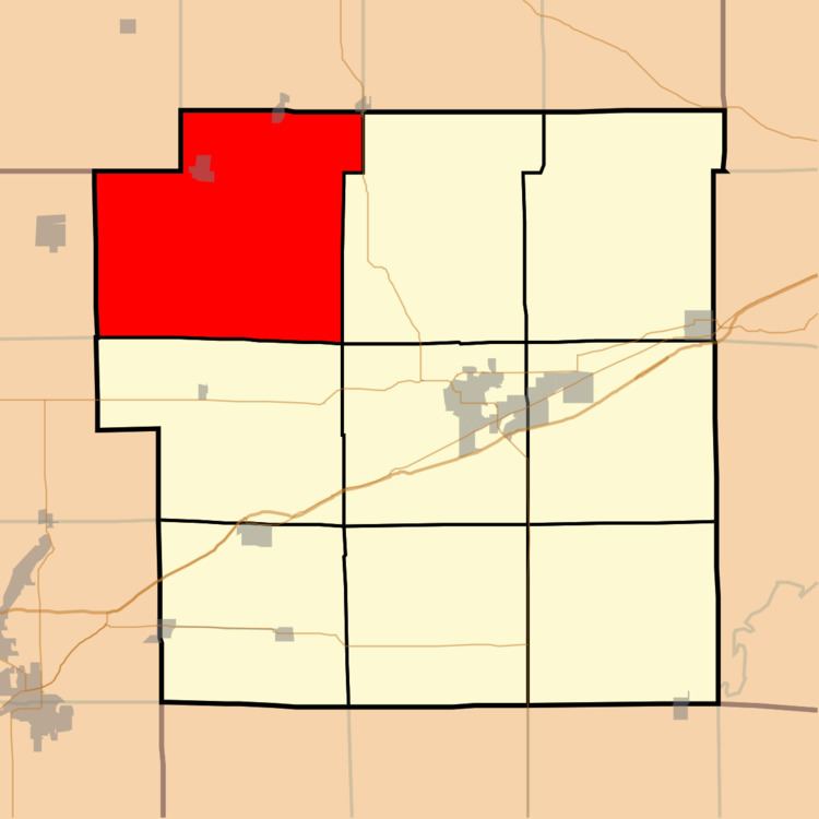
Shoal Creek Township is one of nine townships in Bond County, Illinois, USA. As of the 2010 census, its population was 1,783 and it contained 813 housing units.
Contents
- Map of Shoal Creek Township IL USA
- Geography
- Cities
- Unincorporated towns
- Cemeteries
- Major highways
- Airports and landing strips
- School districts
- Political districts
- References
Map of Shoal Creek Township, IL, USA
Geography
According to the 2010 census, the township has a total area of 58.25 square miles (150.9 km2), of which 58.23 square miles (150.8 km2) (or 99.97%) is land and 0.02 square miles (0.052 km2) (or 0.03%) is water.
Cities
Unincorporated towns
Cemeteries
The township contains these seven cemeteries: Bethel, Coyle, Peterson, Sunny Side, Tisdale, Union and Wade.
Major highways
Airports and landing strips
School districts
Political districts
References
Shoal Creek Township, Bond County, Illinois Wikipedia(Text) CC BY-SA