
Country New Zealand | Region West Coast Local time Friday 9:20 AM | |
 | ||
Weather 14°C, Wind S at 13 km/h, 76% Humidity | ||
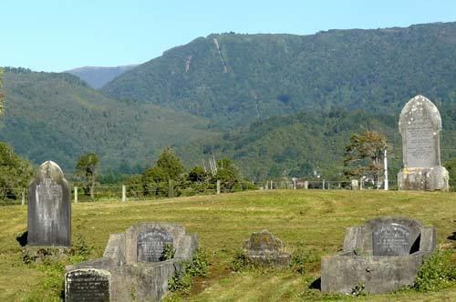
Waimangaroa is a small town located on the West Coast of New Zealand.
Contents
Map of Waimangaroa 7891, New Zealand
The township lies on the south-west bank of the Waimangaroa River, at the western foot of the Mt William Range. It is 17 kilometres (11 mi) to the north east of Westport and 13 km south-east of Granity. The abandoned coaltown of Denniston is about 5 kilometres (3.1 mi) to the south-east. The Bridle Track, a scenic bush track, leads south-east along the Denniston Incline into the foothills of the Mt William Range, to Denniston. The Stockton mine, a large open cast coal mine, is operated in the vicinity by Solid Energy.
The Ngakawau Branch, a branch line railway, runs through the town. It opened to Waimangaroa on 5 August 1876; it formerly ran to Seddonville but now terminates in Ngakawau. From 1877 until 1967, Waimangaroa was also the junction for the Conns Creek Branch, which ran east alongside the Waimangaroa River to the foot of the Denniston Incline. Passenger services ceased on the Conns Creek Branch in 1931 and Ngakawau Branch on 14 October 1946. Since this time, the railway through Waimangaroa has almost solely conveyed coal.
The beaches to the west have dangerous currents and are not safe for swimming.
Education
Waimangaroa School is a coeducational full primary school (years 1-8), with a decile rating of 2 and a roll of 38. The school celebrated its 125th jubilee in 2004.