
Census Division No. 22 Area code(s) 204 Area 31.78 km² Local time Thursday 11:29 AM | Time zone CST (UTC−6) NTS Map 063J15 Postal code R0B 1S0 | |
 | ||
Weather 5°C, Wind S at 14 km/h, 58% Humidity | ||
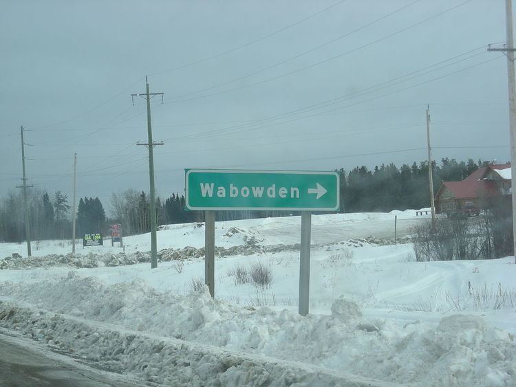
Wabowden is a community in northern Manitoba. It is situated on Provincial Trunk Highway #6, which is the main route between Thompson and the provincial capital, Winnipeg.
Contents
Map of Wabowden, MB, Canada
The community, which has the status of designated place in Canadian census data, had a population of 498 in the Canada 2006 Census.
History
The community originated in the early 20th century as a service point on the Hudson Bay Railway. Although the railway's presence in Wabowden has diminished over time, it continues to serve the community by transporting freight and passengers to the Wabowden railway station.
Wabowden's name is derived from that of a one-time railway executive, W.A. Bowden.
Climate
In spite of its latitude below the 55th parallel Wabowden has a clear-cut rather than borderline subarctic climate. Its climate is dominated by its long and bitterly cold winters, but the short summers are relatively warm, keeping Wabowden well below the tree line.
Mining
Crowflight Minerals is currently preparing Bucko Lake Mine for rehabilitation. The mine shaft was developed in the 1970s by Falconbridge Limited.