
Website ud-wlochy.waw.pl Population 36,276 (2003) Area code(s) +48 22 | Time zone CET (UTC+1) Area 28.63 km² | |
 | ||
Similar Warszawa Włochy railway st, Centrum metro station, Palace of Culture and Scie, Łazienki Park, Arkadia | ||
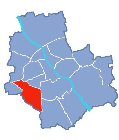
Włochy ([ˈvwɔxɨ]) is one of the districts of Warsaw, located in the south-western part of city. Włochy borders districts Bemowo and Wola from the north, Ochota and Mokotów from the east, and Ursus and Ursynów from the south.
Contents
Map of W%C5%82ochy, Warsaw, Poland
History
It is not known from where the name Włochy derives. Grammatically it is plural, and literally means "Italy" in Polish (see Walhaz for etymology). One theory is that the name comes from a foreign army, probably Italian, that could have stayed in nearby Wola (a place where the election of Polish kings took place). Another theory is that name derives from Jan Yokel, who was called "Włoch". Seemingly he was the founder of the village in the forest.
Between 1938 and 1951 Włochy had town privileges. On 2 May 1951 Włochy was annexed into Warsaw as part of the Ochota district. Since 1994 it has formed the Warszawa-Włochy municipality. In 2002 the municipality became an independent district of Warsaw.