
Area code(s) +48 22 Population 147,676 (2008) | Time zone CET (UTC+1) Area 48.6 km² | |
 | ||
Notable landmarks J. Ursyn Niemcewicz park, 19th century Służew fort, PAN botanical garden, Służewiec horseracing track, Natolin palace, Kabaty Forest | ||
Ursynów ([urˈsɨnuf]) is the southernmost district of Warsaw. With a surface area of 44.6 km2 (17.2 sq mi), it is the third largest district in Warsaw, comprising 8.6 percent of the city. The district has a population of almost 148,000, and is one of the fastest growing neighborhoods in Warsaw. Nearly 25 percent of its inhabitants are below 18 years of age.
Map of Ursyn%C3%B3w, Warsaw, Poland
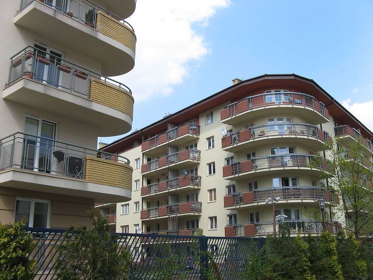
The eastern section of Ursynów is heavily built up with blocks of flats, while its western and southern sections are often referred to as Green Ursynów due to its lower population density and broad open spaces and green areas. The neighborhood is considered the bedroom of Warsaw, and is home to nearly a quarter of the city's post-1989 construction.
Ursynów's southern extremity comprises Kabaty Forest, covering more than 9.2 km2 (3.6 sq mi). Other popular attractions include the Vistula river escarpment, Natolin palace and Służewiec horseracing track (built in 1939), used not only for its original purpose, but for open-air exhibitions, pop concerts, etc.
Ursynów is served by the Ursynów, Stokłosy, Imielin, Natolin and Kabaty stations of the Warsaw Metro. The Kabaty depot is located in the south of the borough.