
Vehicle registration GJ Elevation 69 m Local time Wednesday 4:00 PM | Time zone IST (UTC+5:30) Website gujaratindia.com Population 39,789 (2011) | |
 | ||
Weather 35°C, Wind SW at 21 km/h, 40% Humidity Neighborhoods Magdum Nagar, Amba Nagar Society | ||
Mayadevi temple 25 kms from vyara gujarat
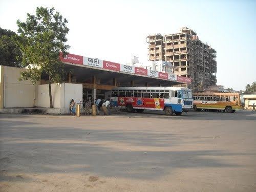
Vyara is a town and the district headquarters of the Tapi district in the Indian state of Gujarat.
Contents
- Mayadevi temple 25 kms from vyara gujarat
- Map of Vyara Gujarat 394650
- Bhenskatri 2 fall in monsoon vyara gujarat india
- Geography
- Demographics
- History
- References
Map of Vyara, Gujarat 394650
Bhenskatri 2 fall in monsoon vyara gujarat india
Geography
Vyara is located at 21.12°N 73.4°E / 21.12; 73.4. 65km away from surat on nh6. It has an average elevation of 69 metres (226 feet).
Demographics
As of 2001 India census, Vyara had a population of 36,213. Males constitute 50% of the population and females 50%. Vyara has an average literacy rate of 74%, higher than the national average of 59.5%: male literacy is 78%, and female literacy is 69%. In Vyara, 11% of the population is under 6 years of age.the Gamit,Chaudhari,Vasava,Kokani,Brahmins,jain,Sindhi,Bhoy,Christians,Muslims population are lives in the district
History
Vyara town was ruled by Gaekwads of the Princely State of Baroda during 1721 until 1949 when it joined the Indian union, the region also lied under Princely State of Bansda during its reign in 1781 and was acceded to India on 10 June 1948. Vyara is also the birthplace of Amarsingh Chaudhry, the ex-Chief Minister of Gujarat State.
Tapi District consists of the five Talukas of Songadh, Valod, Vyara, Ucchal, and Nizar. Vyara has many attractive natural places to visit across town and in city like Jalvatika Garden,Gaytri mandir, Vyara fort, Mayadevi waterfall temple, Padamdugri,Mahal Camp site, Gaumukh,ukai Dam,unai, kakrapar Dam.