
Area 17.18 km² | Local time Wednesday 1:18 PM | |
 | ||
Weather 14°C, Wind E at 10 km/h, 51% Humidity | ||
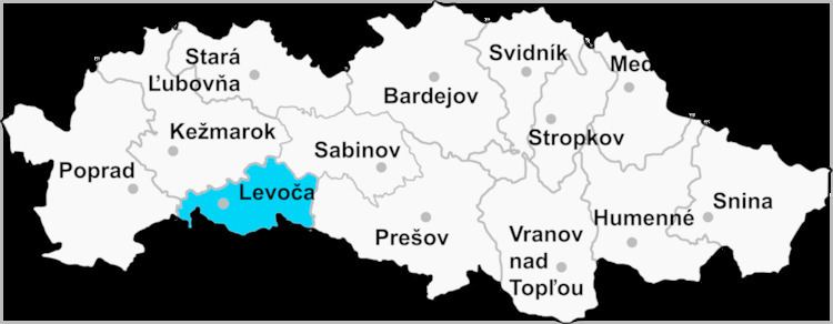
Vyšný Slavkov is a village and municipality in Levoča District in the Prešov Region of central-eastern Slovakia.
Contents
Map of 053 73 Vy%C5%A1n%C3%BD Slavkov, Slovakia
History
In historical records the village was first mentioned in 1347.
Geography
The municipality lies at an elevation of 560 metres (1,837 ft) and covers an area of 17.183 km² (6.634 mi²). It has a population of about 345 people.
References
Vyšný Slavkov Wikipedia(Text) CC BY-SA