
Type Road | Length 4.5 km (2.8 mi) | |
 | ||
Route number(s) State Route 10 (Stanley St–Cordelia St) State Route 41 (Dock St, S. Brisbane–Vulture St E, E. Brisbane) Via West End, South Brisbane, Woolloongabba, East Brisbane | ||
Vulture Street is a road in Brisbane, Queensland, Australia. It connects the inner southern suburbs. Its eastern segment is known as Vulture Street East.
Contents
- Map of Vulture St Queensland Australia
- Geography
- Significant landmarks and junctions
- In popular culture
- References
Map of Vulture St, Queensland, Australia
Geography
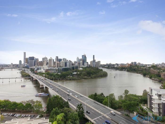
Vulture Street commences at a junction with Montague Road, West End (27.4801°S 153.0052°E / -27.4801; 153.0052 (Vulture Street, West End)) and then travels east through West End, South Brisbane, Kangaroo Point and East Brisbane, where it terminates at a junction at Stanley Terrace (27.4870°S 153.0501°E / -27.4870; 153.0501 (Vulture Street East, East Brisbane)) being unable to go further east due to Norman Creek. It is known as Vulture Street East from east of the intersection with Wellington Road in East Brisbane. It is 4.5 kilometres (2.8 mi) long.
Significant landmarks and junctions
Vulture Street has a number of significant landmarks and junctions, including (from west to east):
In popular culture
The rock band Powderfinger produced an album Vulture Street which was named after the band's first recording studio in Vulture Street, West End.