
Elevation 998 m Local time Tuesday 5:25 AM | Area 172 km² | |
 | ||
Time zone Colombia Standard Time (UTC-5) Weather 23°C, Wind N at 5 km/h, 92% Humidity | ||
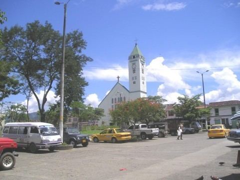
Viterbo is a town and municipality in the Colombian Department of Caldas. Formally constituted as a municipality on December 31, 1951, it was founded on April 19, 1911 by Presbítero Nazario Restrepo Botero. The current mayor is Carlos Alberto Ramírez G.
Contents
Map of Viterbo, Caldas, Colombia
Location
The town is situated between the Risaralda River Valley and the foothills of the Cordillera Occidental. It is close to the city of Pereira and near three other cities, [[Manizales], [Cali]] and Medellín. These cities are connected by good, easy to travel roads. It also has nearby air connections: Matecaña International airport in Pereira and Santa Ana international airport near Cartago. It is also known as "El Paraíso de Caldas" (the paradise of Caldas) due to the beautiful landscape, the notable condos surrounding it, wide streets and recreational facilities.
Local Economy
The local economy of Viterbo is based largely around agriculture and farming, with principal exports including sugarcane, corn, citrus, tropical fruit and some coffee. There is also an emerging tourism industry with the boom in vacationing condos construction