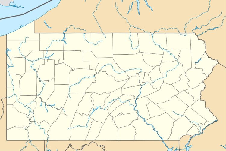
Country United States County Berks Time zone Eastern (EST) (UTC-5) Elevation 102 m Population 309 (2010) Added to NRHP 28 September 2000 | State Pennsylvania ZIP code 19564 Area 7 ha Local time Monday 10:04 PM | |
 | ||
Weather 14°C, Wind SE at 18 km/h, 45% Humidity | ||
Virginville is a census-designated place in Richmond Township, Berks County, Pennsylvania. It is located at the junction of PA 143 and Crystal Ridge Road, and is approximately 7 miles to the south of the borough of Lenhartsville. As of the 2010 census, the population was 309 residents. Maiden Creek runs through the town and it also meets up with Sacony Creek.
Map of Virginville, PA 19526, USA
The origin of the name Virginville is obscure. Some say it is the English translation of a Native American word, while others believe the community was named for virgin forests in the area. "Virgin" may be an alternate translation of the Indian-named Maiden Creek.
The hamlet was designated the Virginville Historic District by the National Register of Historic Places in 2000.
The district encompasses 80 contributing buildings built between 1874 and 1930. It includes residential, commercial, and institutional buildings in a variety of popular architectural styles including Gothic Revival and Italianate. A primarily residential district, notable non-residential buildings include The Creamery (c. 1875), St. Paul's Chapel (1903), Virginville Hotel (1885), post office (c. 1930), and Balthasar's Garage (1921).
