
Existed: 1942 – present Length 3.9 km | Counties: Lee Constructed 1942 | |
 | ||
North end: SR 634 / SR 636 in St. Charles | ||
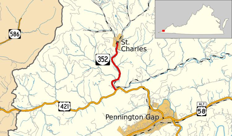
State Route 352 (SR 352) is a primary state highway in the U.S. state of Virginia. Known as St. Charles Road, the state highway runs 2.40 miles (3.86 km) from U.S. Route 421 (US 421) near Pennington Gap to SR 634 and SR 636 in St. Charles in northern Lee County.
Contents
Map of VA-352, 5, VA, USA
Route description
SR 352 begins at an intersection with US 421 on the north side of Stone Mountain and west of Pennington Gap. The state highway follows Straight Creek and a rail line north to the town of St. Charles. Within the town, the state highway reaches its northern terminus at a three-way intersection with SR 634 (Bunny Blue Road) and SR 636 (Monarch Road).
Major intersections
The entire route is in Lee County.
References
Virginia State Route 352 Wikipedia(Text) CC BY-SA