Telephone code 496253 PIN 673542 Population 31,763 (2001) | Time zone IST (UTC+5:30) Vehicle registration KL 18 Local time Monday 9:44 PM Area code 496253 | |
 | ||
Weather 29°C, Wind NW at 6 km/h, 74% Humidity | ||
Villiappally is a census town in Kozhikode district in the Indian state of Kerala. Villiappally is the headquarters of Villiappally Panchayath, which contains two villages, Memunda and Villiappally. There is a Vocational Higher Secondary School in this village.
Contents
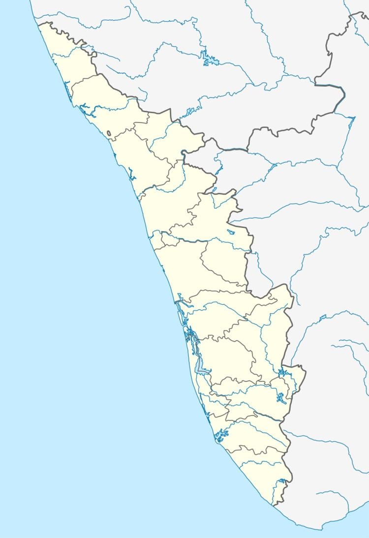
- Map of Villiappally Kerala
- Transportation
- Demographics
- Educational institutions
- HEALTH AND HOSPITAL
- References
Map of Villiappally, Kerala
Transportation
Villiappally village connects to other parts of India through Vatakara city on the west and Kuttiady town on the east. National highway No.66 passes through Vatakara and the northern stretch connects to Goa and Mumbai. The southern stretch connects to Cochin and Trivandrum. The eastern Highway going through Kuttiady connects to Mananthavady, Mysore and Bangalore. The nearest airports are at Kannur and Kozhikode. The nearest railway station is at Vatakara.
Demographics
As of 2001 Indian census, Villiappally had a population of 31,763. Males constitute 48% of the population and females 52%. Villiappally has an average literacy rate of 81%, higher than the national average of 59.5%: male literacy is 85%, and female literacy is 78%. In Villiappally, 11% of the population is under 6 years of age.
