
Canton Blangy-sur-Bresle Area 7.01 km² Population 205 (1999) | Region Normandy Intercommunality Blangy-sur-Bresle Local time Monday 6:03 PM | |
 | ||
Weather 15°C, Wind NW at 10 km/h, 61% Humidity | ||
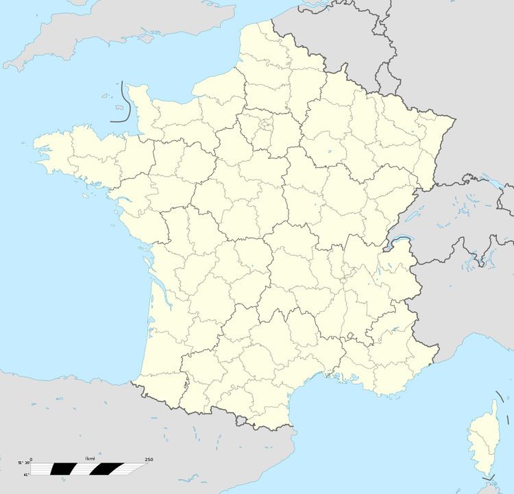
Villers-sous-Foucarmont is a commune in the Seine-Maritime department in the Haute-Normandie region in northern France.
Contents
Map of 76340 Villers-sous-Foucarmont, France
Geography
A small farming village situated by the banks of the Yères river in the Pays de Bray, some 22 miles (35 km) southeast of Dieppe at the junction of the D16, D24 and the D82 roads.
Places of interest
References
Villers-sous-Foucarmont Wikipedia(Text) CC BY-SA