
Department Ain Area 24.63 km² Population (2008)2 4,330 | Local time Monday 4:52 PM Area1 24.63 km2 (9.51 sq mi) | |
 | ||
Weather 19°C, Wind N at 18 km/h, 51% Humidity | ||
Villars-les-Dombes is a commune in the Ain department in eastern France. Its people are known as Villardois.
Contents
Map of 01330 Villars-les-Dombes, France
Geography
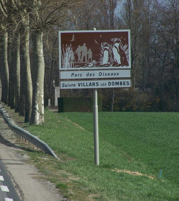
The town is located within Ain, half-way between Lyon (33 km) and Bourg-en-Bresse (29 km), in the heart of the area known as the Dombes, notable for its hundreds of lakes which are waterfowl habitats and are suitable for breeding fish. Its ornithological park, Parc des Oiseaux, is the largest in France.
The Chalaronne river forms part of the commune's south-western border, flows northward through the western part of the commune, crosses the town, then forms part of its northern border.
History
The lordship of Villars (of which archival evidence dates from 940) became, by marriage, the lordship of Thoire-et-Vilars in 1188, and in about 1400 its caput was Trévoux (the estate was managed from there). In 1565, Villars was promoted to a marquisate dependent on the house of Savoie (Savoy), a benefice of the Honour of Savoy.
In 1705, the maréchal de Villars obtained the collection of several lands, a small French enclave in the (German-influenced) province of Franche-Comté, as the duchy of Villars. His line died out in 1788, on the death of his son, Honoré-Armand, 2nd Duke de Villars.