
Country United States Founded 1917 | Population 25,767 (2011) Area 37.69 sq mi | |
 | ||
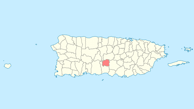
Map of Villalba, Puerto Rico
Villalba ([biˈʎalβa]) is a municipality of Puerto Rico (U.S.) located in the central region, northeast of Juana Díaz; south of Orocovis; and west of Coamo. Villalba is spread over 6 wards and Villalba Pueblo (The downtown area and the administrative center of the city). It is part of the Ponce Metropolitan Statistical Area.
Contents
- Map of Villalba Puerto Rico
- Camino al cerro maravilla villalba puerto rico
- 3er festival del name y la carne frita villalba puerto rico
- History
- Geography
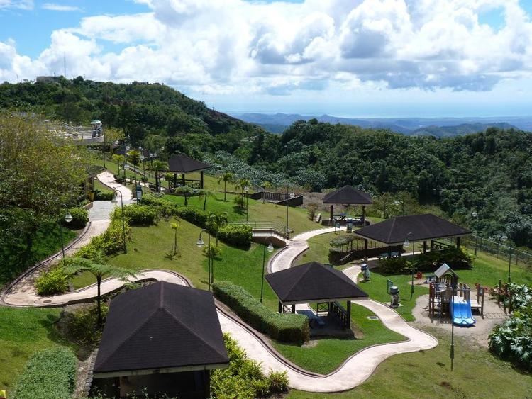
- Landmarks and places of interest
- Agriculture
- Industry
- Festivals and events
- Government
- Flag
- Education
- References
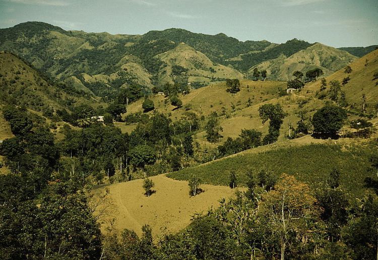
Camino al cerro maravilla villalba puerto rico
3er festival del name y la carne frita villalba puerto rico
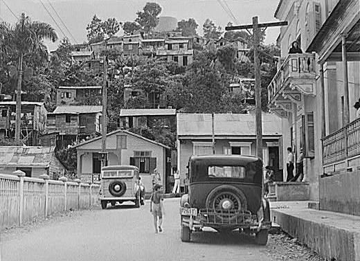
History
Villalba was founded in 1917 by José Ramón Figueroa y Rivera and Walter McJones. Its current mayor is the Hon. Luis Javier Hernàndez.
Geography
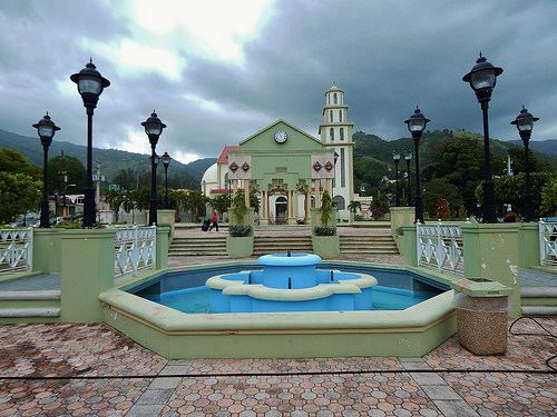
Landmarks and places of interest
Agriculture
Industry
Festivals and events
Government
All municipalities in Puerto Rico are administered by a mayor, elected every four years. Waldemar Rivera Torres (of the Popular Democratic Party) has served as mayor since 2005 to 2012. The actual mayor is Javier (Javi) Hernández. He has been the mayor since 2013.
The city belongs to the Puerto Rico Senatorial district VI, which is represented by two Senators. In 2012, Miguel Pereira Castillo and Angel M. Rodríguez were elected as District Senators.
Flag
Four horizontal, unequal stripes in width, that from top to bottom have the following order: green, white, green and yellow. In the immediate side to the flagstaff, in the superior stripe, appears, in white color, the star of the shield.