Country United States Unemployment rate 19.0% (Dec 2014) Area 71.1 sq mi | Founded November 10, 1825 Mayor Hon. Jesus E. Colon Berlingeri (PNP) Population 23,359 (2011) | |
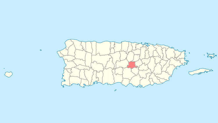
Orocovis (from Taino language, Orocobix meaning remembrance of the first mountain) is a municipality of Puerto Rico located in the Central Mountain Range, north of Villalba and Coamo; south of Morovis and Corozal; southeast of Ciales; east of Jayuya; and west of Barranquitas. Orocovis is spread over 17 wards and Orocovis Pueblo (the downtown area and the administrative center of the city). It is part of the San Juan-Caguas-Guaynabo Metropolitan Statistical Area.
Contents
- Map of Orocovis Puerto Rico
- Ziplining toro verde adventure park orocovis puerto rico
- La bestia the beast toro verde orocovis puerto rico
- History
- Geography
- Culture
- Economy
- Festivals and events
- References
Map of Orocovis, Puerto Rico
Ziplining toro verde adventure park orocovis puerto rico
La bestia the beast toro verde orocovis puerto rico
History
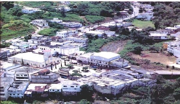
Since before the Spanish colonization in the 16th century, Taino Indians were already established in the Orocovis region. They were led by the cacique Orocobix and his group of Taino was known as the Jatibonicu. After Spaniards settled in the island, the region was called Barros and designated as a barrio of Barranquitas.
On May 25, 1825, the neighbors of the region granted Don Juan de Rivera Santiago the powers to request the Governor authorization to found a municipality in Barros, where they had bought almost 14 acres of land from Dona Eulalia de Rivera, who donated an additional acre to establish several municipal works. However, due to the distance from bodies of water, the settlement was moved to another place. On November 10, 1825, Governor Miguel de la Torre granted permission to found the new municipality of Barros.
In 1838, the parish of San Juan Bautista de Barros was created and was blessed and inaugurated on October 29 of the same year. However, on 1875, a fire destroyed the church, the Kings House, the priests house and several homes.
In 1928, the Legislative Assembly of Puerto Rico approved a resolution to change the name of Barros to Orocovis, to honor the Taino cacique of the same name, who lived in that region.
Geography
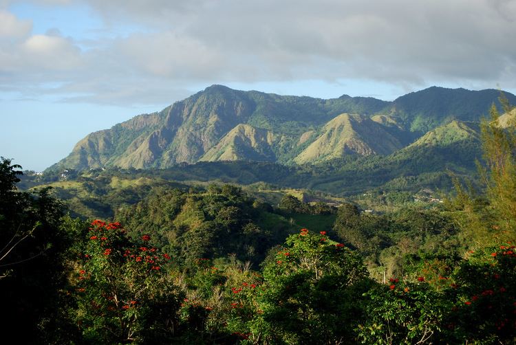
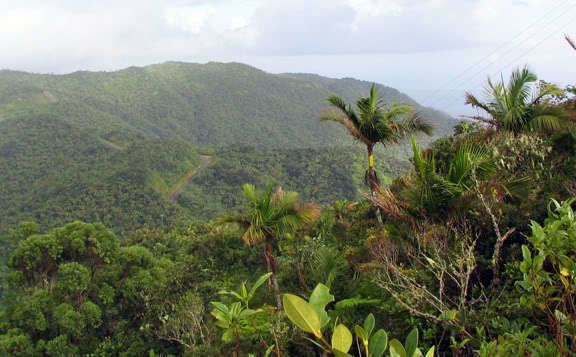
Most of the Orocovis terrain runs through the Cordillera Central of the island. Most of the high peaks are in the southern region of the town within the limits of the municipality with Villalba and Coamo. The highest peak of the town is Cerro Mogote.
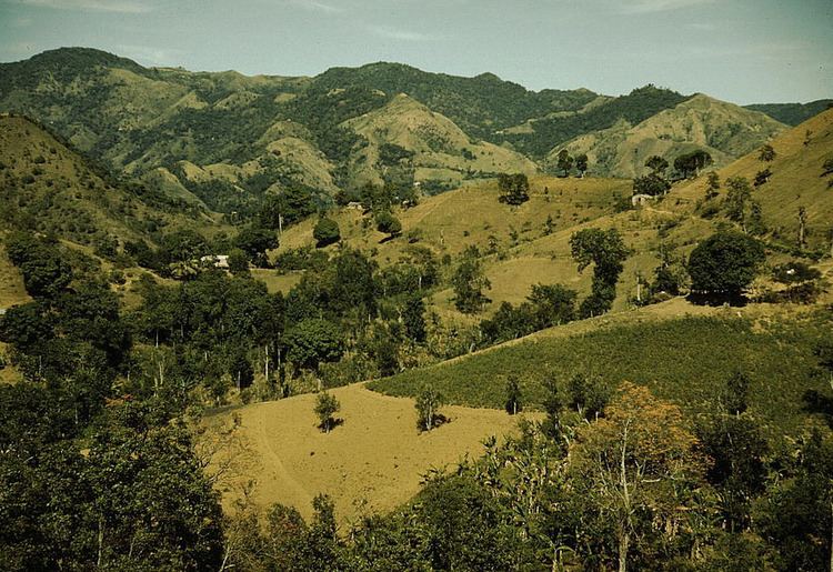
The rivers Toro Negro, Sana Muertos, Orocovis, Matrullas, and Bauta, and the creeks Dona Juana, Palmar and Cacaos are among the water bodies in the town. There are two lakes: El Guineo, formed within de Toro Negro River, and the Matrullas Lake formed by the Bauta River. El Guineo is Puerto Ricos highest lake.
Culture
Orocovis is sometimes called "The Musical Capital of Puerto Rico" because many major Puerto Rican performers were either born or raised in the town, particularly bandleader Bobby Valentin, folk singer Andres Jimenez, merengue singer Manny Manuel, salsa legend William "H. Christ" Corchado, and the Colon-Zayas family of musicians, which includes Emma (singer, multi-instrumentalist) and Edwin (a cuatro player).
Economy
Cattle, coffee, fruits, tobacco, and wheat.
Festivals and events
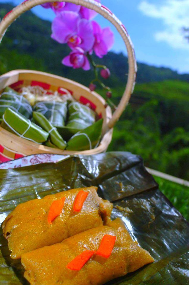
Orocovis Fiestas Patronales are held in June. Other traditional festivals held at the city are the Infant Theater Festival in April; the Festival del Camaron in July; the Arts Craft Fair in September; and the National Festival of the Puerto Rican Pastel in November.
