
Municipality since 1876 Area 309.9 km² Local time Monday 8:14 AM | Founded n.a. Municipal Districts 4 Elevation 19 m Population 30,989 (2012) | |
 | ||
Weather 24°C, Wind S at 10 km/h, 93% Humidity | ||
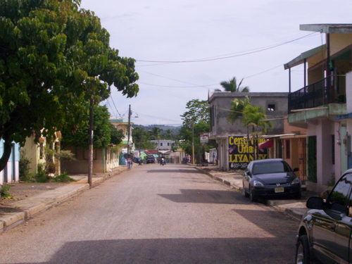
Villa Riva is a municipality (municipio) of the Duarte Province in the Dominican Republic.
Contents
Map of Villa Riva 31000, Dominican Republic
History
The community of El Cercado was founded in 1845 by President Pedro Santana. It previously belonged to the municipality of Bánica and was called the Sabana del Bohío, and was elevated to town by President Fernando Arturo de Meriño in 1888. The first families to settle in this area were Florencio Montero, Telésforo de Oleo, Encarnación, Manuelica y Fidel Matos and Leonardo Brito. El Cercado people have the reputation for being very hospitable, friendly and kind.
The main economic source is agriculture consisting of cattle, snuff, honey, wax, leather and coffee. The main form of communication was the horse, which started the mail service.
Climate
Villa Riva has a tropical rainforest climate (Köppen climate classification: Af).