
Founded 1910 CPA base H3540 Elevation 70 m Number of airports 1 | Time zone ART (UTC-3) Dialing code +54 3735 Population 42,584 (2012) Local time Monday 9:51 AM | |
 | ||
Weather 22°C, Wind E at 8 km/h, 84% Humidity | ||
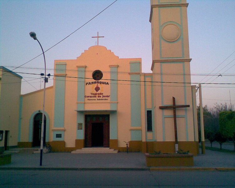
Villa Ángela is a city in the province of Chaco, Argentina, 186 km west of the provincial capital Resistencia. It is on the Gran Chaco, a lowland region of the Río de la Plata basin. It has 43,511 inhabitants as per the 2001 census , making it the third largest in the province.
Contents
Map of Villa %C3%81ngela, Chaco Province, Argentina
History
In 1908, Carlos Gruneisen y Julio Ulises Martin (Swiss, b. 31 de julio 1862, creator of the Yerbatera Martin, in Rosario), acquired the land that would become the jurisdiction of Villa Angela. He had the tannin factory,La Chaqueña S.A., built and the adjacent areas immediately began to be settled.
Punta de rieles and km 95 were the names it first received when it was no more than a hamlet. In 1910, as a tribute to the centennial of the May Revolution and the 24th of May, they decided to found a village and give it the name Villa Ángela. It was named after Ángela Joostens, the wife of Julio Ulises Martin, one of its two founders.
The city boasts one of the major Carnavals of the country. This popular festival extends from mid-January to mid-February since 1950.
Weather
The city's weather is subtropical, dry in winter and very wet and hot in the summer.