
Time zone EET (UTC+2) Vehicle registration Z Local time Monday 1:46 PM Area code 22630 | Elevation 301 m (988 ft) Postal code 190 06 Website www.vilia.org | |
 | ||
Weather 14°C, Wind E at 10 km/h, 37% Humidity | ||
Vilia (Greek: Βίλια; formerly Eidyllia, Ειδυλλία) is a village and a former municipality of West Attica, Greece. Since the 2011 local government reform it is part of the municipality Mandra-Eidyllia, of which it is a municipal unit. Its population was 1,753 at the 2011 census.
Contents
Map of Vilia 190 12, Greece
Geography
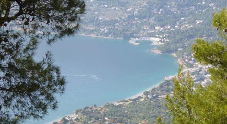
The municipal unit Vilia covers the mountainous northwestern part of Attica, and has a land area of 144.851 km². The main mountain ranges are Cithaeron (1,409 m) in the northwest and Pastra in the northeast. In the west it stretches along the coast of the Alkyonides Gulf, a bay of the Gulf of Corinth. The village Vilia, the largest in the municipal unit, lies in the easternmost part, at the southeastern foot of Cithaeron. Vilia is 6 km south of Erythres, 7 km west of Oinoi, 10 km east of the coastal village Aigosthena, 17 km south of Thebes and 40 km northwest of Athens.
The municipal unit's largest villages are Vilia (pop. 1,269 in 2011), Kato Alepochori (220), Aigosthena (80), Veniza (52), and Agios Nektarios (40).
Subdivisions
The municipal unit Vilia consists of the following villages: