
Time zone EET (UTC+2) Vehicle registration Z Local time Tuesday 8:32 PM | Elevation 390 m (1,280 ft) Postal code 190 08 Website www.erythres.gr Area code 22630 | |
 | ||
Weather 11°C, Wind SE at 8 km/h, 81% Humidity | ||
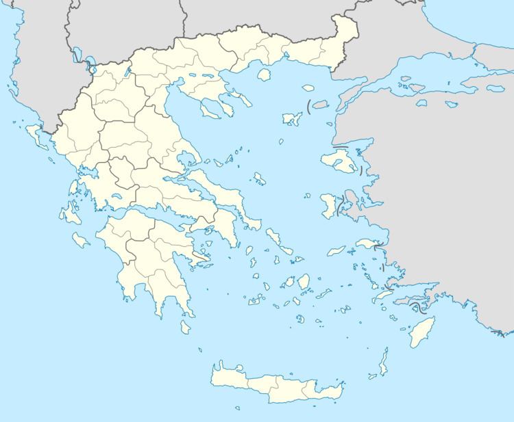
Erythres (Greek: Ερυθρές, before 1927: Κριεκούκι - Kriekouki "red-head" in Arvanitika, perhaps named after an Arvanite leader;) is a village and a former municipality in the northernmost part of West Attica, Greece. Since the 2011 local government reform it is part of the municipality Mandra-Eidyllia, of which it is a municipal unit. The municipal unit has an area of 61.145 km2.
Map of Erythres 190 08, Greece
Erythres was named after the ancient city of Erythrae, the ruins of which are located 1.5 km east of the present town. The Greek National Road 3 (Elefsina - Thebes - Florina) passes through Erythres. The area south of Erythres is mountainous, with the Kithaironas to the southwest and the Pastra to the southeast. The area north of Erythres is characterised by the wide, flat valley of the Boeotian river Asopos, that flows to the east along the northern border of the municipal unit. This area is dominated by farmlands. Erythres is located 5 km east of Plataies, 6 km north of Vilia, 12 km south of Thebes and 44 km northwest of Athens.