- elevation 56 m (184 ft) - location Atlantic Ocean - water .00 km (0 sq mi) Urban area 99 km² | - elevation 135 m (443 ft) - elevation 0 m (0 ft) Area 7.96 km² | |
 | ||
- location Caminho da Abrigada, Estarada Regional E.R.1-1 | ||
Vila Nova is a civil parish in the municipality of Praia da Vitória on the island of Terceira in the Portuguese Azores. The population in 2011 was 1,678, in an area of 8.14 km².
Contents
Map of Vila Nova, Portugal
History
In its early settlement, the area of Vila Nova was known for its abundance of water; in 1891 there were 14 water fountains supplying potable water to the community. Although primarily a subsistence agriculture community, dominated by the harvesting of cereal crops, the area was also a refuge and settlement for many noble families.
Geography
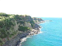
The area is characterized by rocky coastal zone, that includes the bay and beach of Praia das Escaleiras, and a more elevated area that includes prime agricultural lands in Alminhas, Canada do Boqueiro and Canada da Bezerra.
Ecoregions/Protected areas
Civic
Religious
References
Vila Nova (Praia da Vitória) Wikipedia(Text) CC BY-SA
