
South end: Pat Antonio Street | Length 1.6 km | |
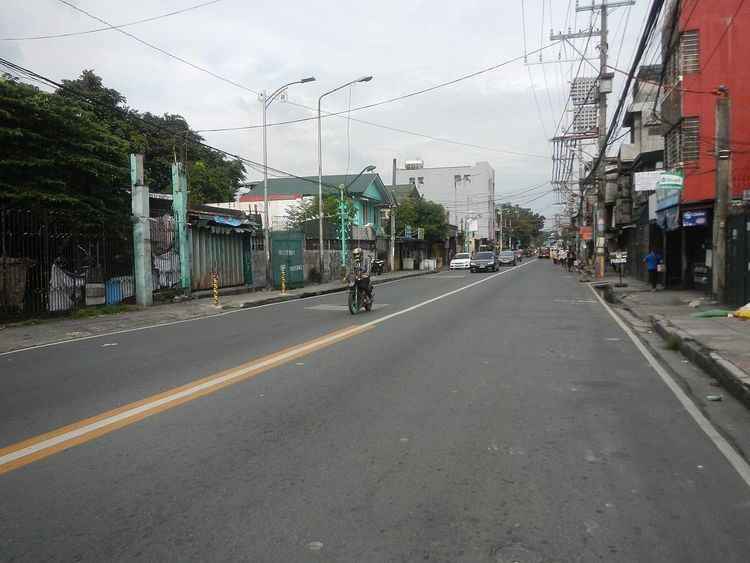 | ||
Victorino Mapa Street, also known by its short form V. Mapa Street, is the main north-south road in Santa Mesa district in the City of Manila, Philippines. The street, including its eastern extension, runs for 1.6 kilometers (1 mile) from the junction with Magsaysay Boulevard in the north to Pat Antonio Street in the southeast by the San Juan River that serves as the district's border with San Juan and Mandaluyong. It is home to Don Bosco School, Manila, Unciano Colleges and General Hospital, and several new condominiums and a few motels.
Contents
Map of Victorino Mapa St, Manila, Metro Manila, Philippines
A portion of the street forms part of Radial Road 5 (R-5) of Manila's arterial road network where it links with Padre Sanchez Street (named after Jesuit priest Francisco de Paula Sanchez from the Ateneo Municipal de Manila) and eventually connects to Shaw Boulevard in Mandaluyong. It is served by LRT-2 V. Mapa Station along Magsaysay Boulevard.
History
Victorino Mapa Street was formerly known as Calle Buenavista and was one of the earliest streets laid out by the Spanish government in the former pueblo of Santa Mesa. It was the home of the old Sociedad de Tiro al Blanco (Manila Gun Club) located near the junction with Calle Valenzuela. The street was extended north from Calle Santa Mesa (now Old Santa Mesa Road) to the new boulevard built during the U.S. colonial period called Santa Mesa Boulevard (now Magsaysay Boulevard). It was renamed in 1929 through Republic Act 3581 after the second Chief Justice of the Supreme Court of the Philippines.