
Country United States Area code(s) 208 Elevation 1,894 m Population 1,938 (2013) | Time zone Mountain (MST) (UTC-7) FIPS code 16-84250 Zip code 83455 Local time Sunday 5:03 PM | |
 | ||
Weather 6°C, Wind W at 13 km/h, 66% Humidity | ||
Victor idaho vlog
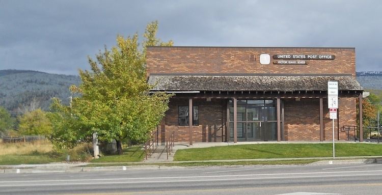
Victor is the largest city in Teton County, Idaho, United States. The population was 1,928 at the 2010 census, up from 840 at 2000. It is part of the Jackson, WY-ID Micropolitan Statistical Area.
Contents
- Victor idaho vlog
- Map of Victor ID 83455 USA
- History
- Geography
- Highways
- 2010 census
- 2000 census
- Education
- References
Map of Victor, ID 83455, USA
The city, as well as other surrounding communities, has become a bedroom community for the nearby resort area of Jackson Hole, accessed over Teton Pass in Wyoming at 8,431 feet (2,570 m) above sea level. The pass is accessed from Victor on State Highway 33, which continues east of the state border as Wyoming Highway 22 to Jackson.
History
Victor was established in 1889, and was named for George Victor Sherwood, a dedicated mail carrier who delivered the mail despite threats of Indian attacks.
Geography
Victor is located at 43°36′11″N 111°6′44″W (43.602945, -111.112343), at an elevation of 6,214 feet (1,894 m) above sea level.
According to the United States Census Bureau, the city has a total area of 3.44 square miles (8.91 km2), all land. The zip code for Victor is 83455.
Highways
2010 census
As of the census of 2010, there were 1,928 people, 683 households, and 433 families residing in the city. The population density was 560.5 inhabitants per square mile (216.4/km2). There were 853 housing units at an average density of 248.0 per square mile (95.8/km2). The racial makeup of the city was 79.3% White, 0.5% Black (U.S. Census), 1.0% Native American, 0.5% Asian, 0.1% Pacific Islander, 16.9% from other races, and 1.9% from two or more races. Hispanic or Latino of any race were 22.6% of the population.
There were 683 households of which 41.9% had children under the age of 18 living with them, 53.7% were married couples living together, 6.1% had a female householder with no husband present, 3.5% had a male householder with no wife present, and 36.6% were non-families. 24.0% of all households were made up of individuals and 4.1% had someone living alone who was 65 years of age or older. The average household size was 2.82 and the average family size was 3.51.
The median age in the city was 30.6 years. 31.5% of residents were under the age of 18; 6.5% were between the ages of 18 and 24; 43.3% were from 25 to 44; 15.1% were from 45 to 64; and 3.7% were 65 years of age or older. The gender makeup of the city was 52.4% male and 47.6% female.
2000 census
As of the census of 2000, there were 840 people, 293 households, and 205 families residing in the city. The population density was 648.5 people per square mile (249.5/km²). There were 330 housing units at an average density of 254.8 per square mile (98.0/km²). The racial makeup of the city was 91.31% White, 0.71% Black (U.S. Census), 1.55% Native American, 4.76% from other races, and 1.67% from two or more races. Hispanic or Latino of any race were 10.71% of the population.
There were 293 households out of which 39.6% had children under the age of 18 living with them, 57.3% were married couples living together, 7.5% had a female householder with no husband present, and 29.7% were non-families. 22.2% of all households were made up of individuals and 6.5% had someone living alone who was 65 years of age or older. The average household size was 2.87 and the average family size was 3.43.
In the city, the population was spread out with 31.5% under the age of 18, 6.9% from 18 to 24, 37.5% from 25 to 44, 16.3% from 45 to 64, and 7.7% who were 65 years of age or older. The median age was 31 years. For every 100 females there were 105.9 males. For every 100 females age 18 and over, there were 104.6 males.
The median income for a household in the city was $42,500, and the median income for a family was $49,750. Males had a median income of $37,159 versus $25,250 for females. The per capita income for the city was $16,740. About 7.0% of families and 8.4% of the population were below the poverty line, including 11.2% of those under age 18 and 7.0% of those age 65 or over.
Education
The public schools in the county are operated by Teton School District #401, headquartered in Driggs. The only traditional high school is Teton High School, also in Driggs. A lower elementary school (K–3) is in Victor, but the district's upper elementary (4–5) and middle school (6–8) are located in Driggs.