
Length 168 km Source elevation 1,070 m Bridges Viaur Viaduct | Basin size 1,530 km (590 sq mi) Discharge 6 m³/s | |
 | ||
Main source Massif Central1,070 m (3,510 ft) Progression | ||
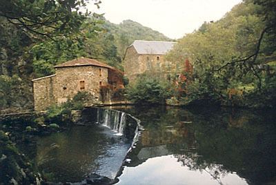
The Viaur is a 168 km long river in south-western France, left tributary of the Aveyron River. Its source is in the southern Massif Central, north of Millau. It flows generally west through the following départements and towns:
Map of Le Viaur, France
The Viaur flows into the Aveyron River in Laguépie.
Its main tributary is the Céor.
References
Viaur Wikipedia(Text) CC BY-SA