Area 14.86 km² | Region Occitanie Local time Saturday 7:57 AM | |
 | ||
Canton Saint-Antonin-Noble-Val Weather 4°C, Wind E at 2 km/h, 74% Humidity | ||
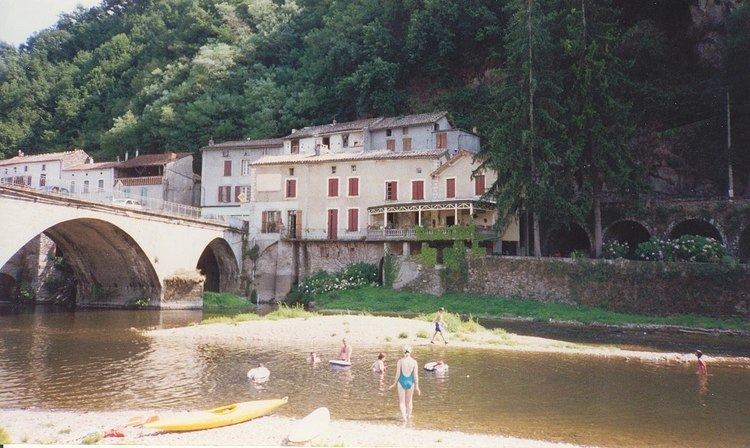
Laguépie is a commune in the Tarn-et-Garonne department in the Occitanie region in southern France.
Map of Lagu%C3%A9pie, France
Situated in the Midi Quercy at the confluence of the rivers Aveyron and Viaur and at the corner of 3 different departments, Laguepie is a typical village of La France Profonde. It is in reality two villages. Laguepie itself (pop 733) is now in the Tarn-et-Garonne and forms an island in the middle of the two rivers. Until 1808 when Napoleon I created the Tarn-et-Garonne it belonged to the Aveyron, forming part of the diocese of Rodez. Its sister village St Martin Laguepie (pop 530) lines the left bank of the Viaur is dominated by the ruins of the medieval chateau and is in the department of the Tarn.
References
Laguépie Wikipedia(Text) CC BY-SA
