
Location Päijänne Tavastia Max. length 25 km (16 mi) Max. depth 42 m (138 ft) Surface elevation 81 m Mean depth 6 m | Basin countries Finland Average depth 6 m (20 ft) Area 107.6 km² Shore length 181 km Length 25 km | |
 | ||
Surface area 107.57 km (41.53 sq mi) | ||
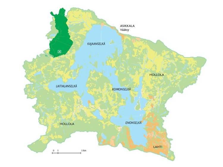
Vesijärvi is a lake of 111 square kilometres (43 sq mi) near Lahti in southern Finland. It suffered severe effects of eutrophication in the 1960s and a restoration programme began in the 1970s. The Enonselkä Basin is a part of Vesijärvi.
Contents
- Map of Vesijarvi 17120 Hollola Finland
- Cyanobacteria Bloom RemediationEdit
- In popular cultureEdit
- References
Map of Vesijarvi, 17120 Hollola, Finland
The name of the lake means The Water Lake.
Cyanobacteria Bloom RemediationEdit
In popular cultureEdit
References
Vesijärvi Wikipedia(Text) CC BY-SA