
Country United States Time zone CST (UTC-6) Elevation 175 m Local time Sunday 7:18 AM | Established November 8, 1853 ZIP codes 62353, 62378 Area 95.1 km² Population 750 (2010) | |
 | ||
Weather 8°C, Wind E at 13 km/h, 86% Humidity | ||
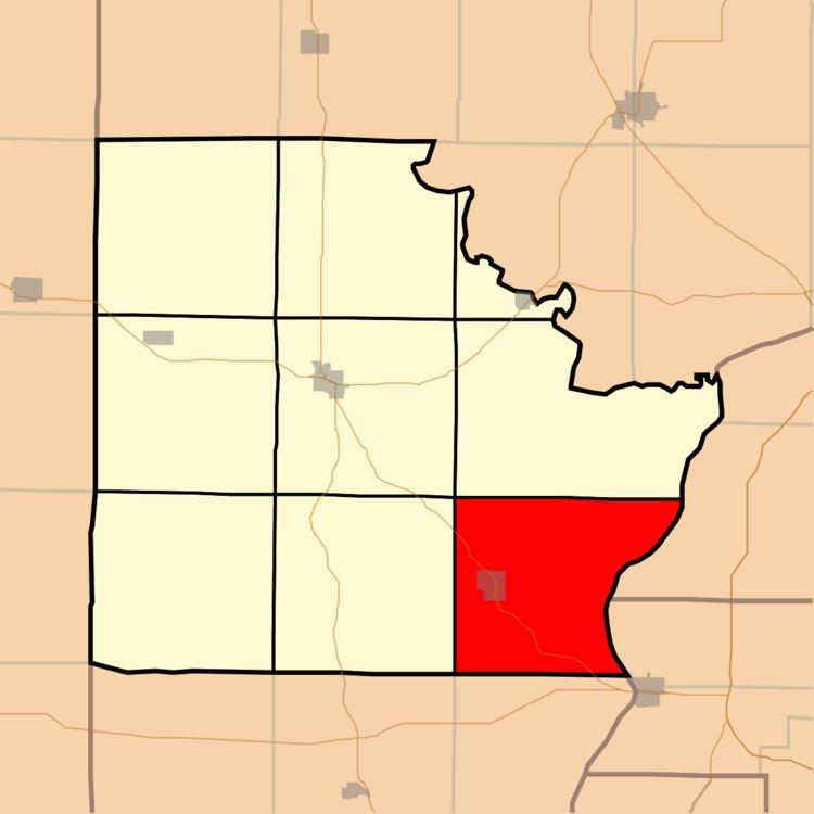
Versailles Township is one of nine townships in Brown County, Illinois, USA. As of the 2010 census, its population was 750 and it contained 382 housing units.
Contents
- Map of Versailles Township IL USA
- Geography
- Cities
- Cemeteries
- Major highways
- Airports and landing strips
- School districts
- Political districts
- References
Map of Versailles Township, IL, USA
Geography
According to the 2010 census, the township has a total area of 36.7 square miles (95 km2), of which 36.06 square miles (93.4 km2) (or 98.26%) is land and 0.64 square miles (1.7 km2) (or 1.74%) is water.
Cities
Cemeteries
The township contains these fifteen cemeteries: Arnold, Casteen, Dawson, Hall, Hambaugh, Lavina Henry, Martin, Mount Zion, Robison, Root, South Side, Suratt Burial Ground, Vandeventer, West Side and Woods.
Major highways
Airports and landing strips
School districts
Political districts
References
Versailles Township, Brown County, Illinois Wikipedia(Text) CC BY-SA