
Time zone CET (UTC+1) Local time Sunday 11:10 AM | Canton Cambrin Area 10.39 km² Population 4,487 (1999) | |
 | ||
Intercommunality Communauté d'agglomération de l'Artois Weather 12°C, Wind NW at 8 km/h, 79% Humidity | ||
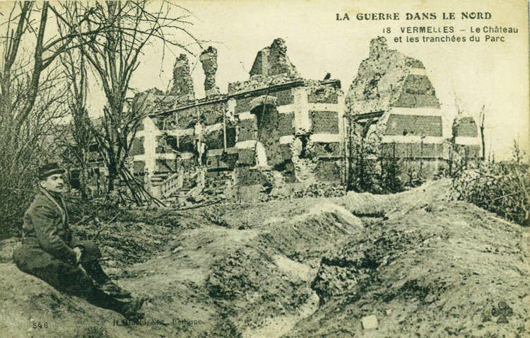
Vermelles is a commune in the Pas-de-Calais department in the Hauts-de-France region of France.
Contents
Map of Vermelles, France
Geography
A ex-coalmining town, Vermelles is situated 6 miles (9.7 km) southeast of Béthune and 20 miles (32.2 km) southwest of Lille, at the junction of the D39, D75 and D943 roads and by the banks of the river Surgeon.
Places of interest
Twin town
References
Vermelles Wikipedia(Text) CC BY-SA