
PIN 627862 Population 2,080 (2010) | Time zone IST (UTC+5:30) Sex ratio 50:50 ♂/♀ | |
 | ||
Ventrilingapuram is a panchayat village in Tirunelveli district in the Indian state of Tamil Nadu.
Contents
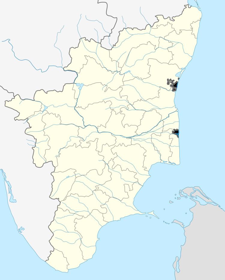
Map of Ventrilingapuram, Tamil Nadu 627862
A fast-growing village, Ventrilingapuram is located between Sankarankoil and Surandai, which are surrounded by several villages.
Location
Ventrilingapuram is the biggest village in the Pattadakatti panchyat of Sankarankoil taluk, Tirunelveli district, at the foot of the Western Ghats. Pattadakatti panchayat comprises Ventrilingapuram, Tharmathoorani, Sarkaraikulam, Thattankulam, Chandragiri village, Rail Pattadakatti, and some of Pudur Village. Pattadakatti Panchat is one of the panchats in Mela Neelitha Nallur block.
Description
Ventrilingapuram has a large Lions pond at the foot of Great Mountain. It has a population of 2,080.
The people of the village harvest crops and manufacture beedis. For this reason, the village is sometimes called Mini Japan (வட்டார குட்டி ஜப்பான்).
The village has more than a dozen temples. Cultural events such as Villu Paatu, Kumbam Dance, and Medai Nadagam take place during the Celebration of Temples. The Familiar Temple of this village was named as Vennivudayar and Marriamman Kaliamman Temple. The village got its name because of the temple of Vennivudayar, which means “Lord Shiva”.
Transportation
Ventrilingapuram has one bus stands to the needs of populations.The old bus stand serves as buses every 30 minutes from Sankarankoil to Veerasigamani via Ventrilingapuram and every 60 minutes from Sankarankoil to Surandai via Ventrilingapuram.